GOVERNMENT MAPPING
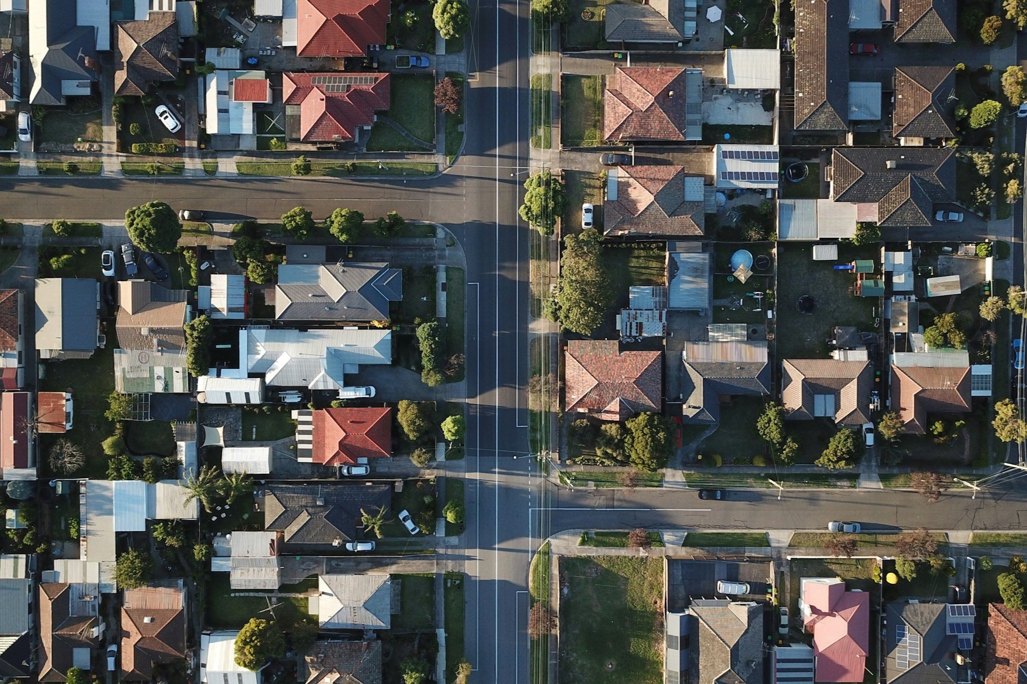
Government agencies often require precise geospatial data for various purposes such as urban planning, environmental assessment, disaster management, and infrastructure development.
Our deliverables play a crucial role in government decision-making by providing accurate, up-to-date, and actionable geospatial information for a wide range of applications.
We have processed AT & Orthophotos for Statewide programs. The deliverables included Aerial Triangulated solution, 3-inch pixel resolution 4 band (RGBI) seamless ortho tiles of the entire state, hydro breaklines, with true ortho rectification for selective areas. The locations for true ortho rectification included downtown / urban areas and complex bridge/overpasses.
Final deliverables included:
AT solution, Report, index files
Tile delivery grid and Orthophotos in GeoTIFF, MrSID v3, and MrSID v4 formats
Seamlines used for mosaic processing
Hydro Breaklines as 3D polygons in ESRI .gdb format of water (>30 M width), and standing water body more than 2 acres
“We have worked with BPS since 2020 and have been awarded several projects that we otherwise probably wouldn’t have been considered for because of price. We have found their pricing not only extremely competitive but quality and schedule and any rarely needed re-work are never in question. Most projects are accepted on first submittal resulting in very pleased clients. BPS is very easy to work with and communication is top shelf. We look forward to a long continued working relationship with this outstanding firm.”
~ Senior Project Manager, Infrastructure & Energy


