Renewable Energy
There is a great awareness and significant movement globally to use renewable, natural sources such as wind and the Sun to generate energy in a sustainable manner.
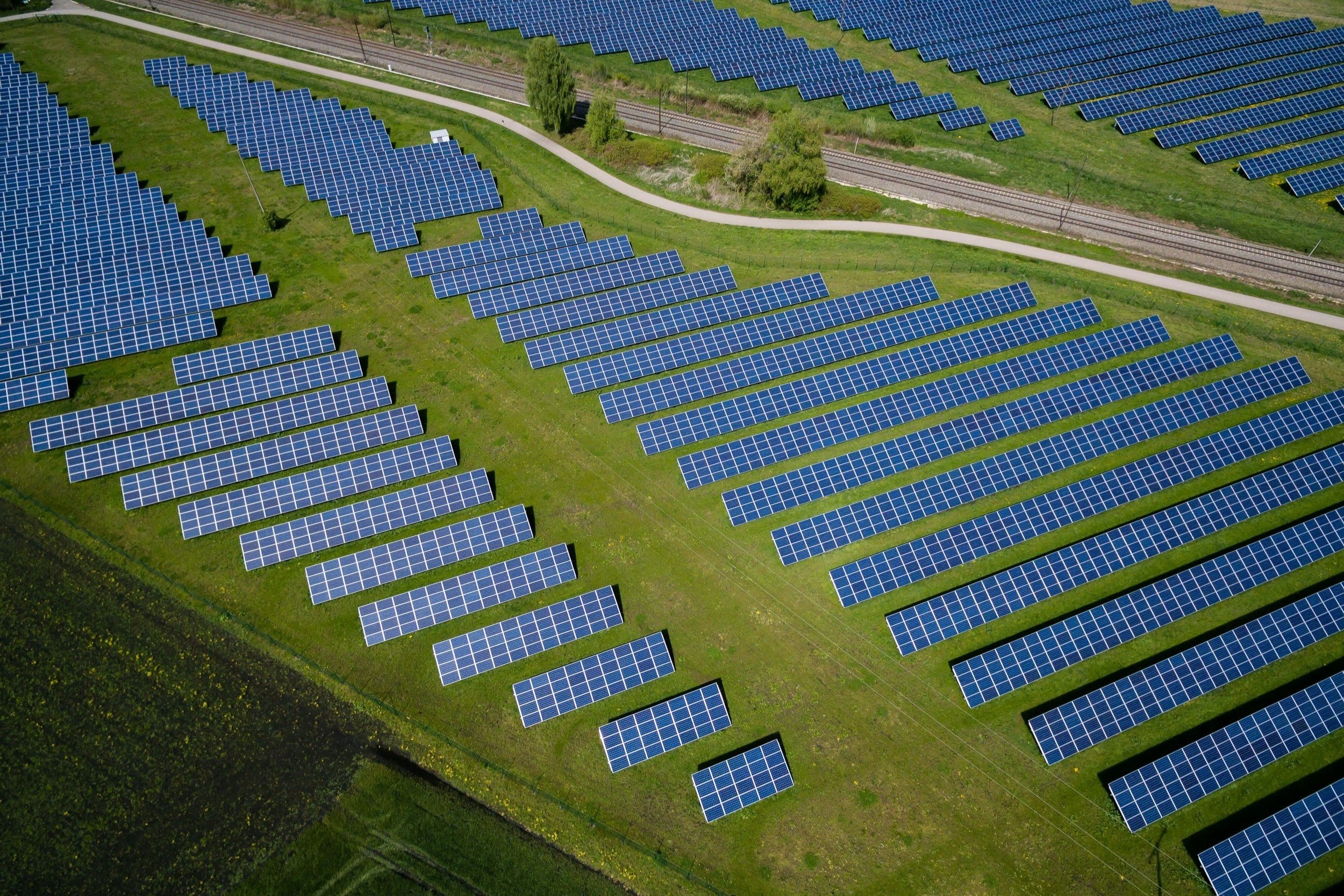
Geospatial mapping is an invaluable tool for successful planning and development of wind and solar energy sites.
BPS provides mapping services for this industry, which includes planimetric and topographic mapping of large sites. The mapped features typically include Planimetric mapping (1”=100’ Scale) with DTM and 2’ Contours.
We have also done IR video analysis of solar panels looking for Hotspots of Strings and Diodes
Hotspot identification on solar panels.
“Throughout our collaborations, BPS has demonstrated a commitment to effective communication and seamless teamwork. From project inception to completion, their dedication ensures that our objectives are met with precision and efficiency. BPS consistently delivers high-quality and accurate aerial mapping products, surpassing our expectations with every project. Their responsiveness to our needs and adherence to delivery schedules are testament to their professionalism and reliability."
~ Director of Geospatial Services, Renewable Energy


